Colleen Bready’s forecast: A cold start to the week with a warm-up on the way
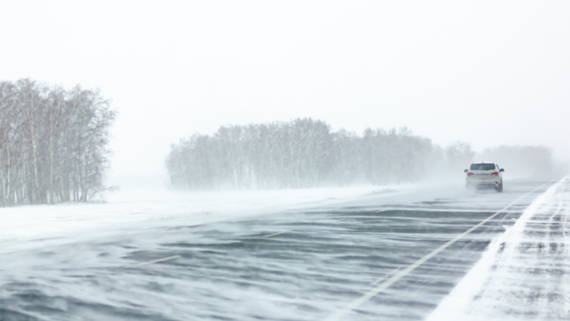
It is a cold start to the week on Monday in Manitoba, but a big warm-up is on the way before long.
Monday’s cold air mass is thanks to an arctic front scooping around the province. It originates in northern Nunavut, dives down into the Dakotas and Minnesota, then turns north back up through Hudson Bay.
Daytime highs across Manitoba, north and south, will reach the lows -20s in the afternoon.
The sun will shine on most of the province, including Winnipeg.
Light snow earlier in the day in Norway House and Thompson will move into Island Lake and Gillam.
Ahead Monday night, temperatures across the south will drop close to -30 C, if not slightly colder in the southwest.
However, the sky will be mostly clear in the south, which bodes well to see the “Wolf Moon” - the first full moon of 2025.
This will be a special celestial event, as the moon passes in front of Mars.
According to CTV science and technology specialist Dan Riskin, the moon’s passage before the Red Planet will begin at 8:17 p.m. and conclude at 9:06 p.m. central time. Riskin adds this lunar event will not happen again until the 2040s.
On Tuesday, daytime highs will be warmer in southern Manitoba, especially in the southwest.
The big spike in temperatures comes on Wednesday, when Winnipeg is forecast to climb to a balmy mid-January high of 2 C.
CTVNews.ca Top Stories

Carney says Trudeau's resignation gives Liberal party 'a chance' in next election, calls himself 'an outsider'
Days ahead of his expected Liberal leadership campaign launch, former Bank of Canada and Bank of England governor Mark Carney says Prime Minister Justin Trudeau's decision to step down boosts the party's chance in the next general election.
Industry minister Champagne to announce Liberal leadership intentions today
Industry Minister Francois-Philippe Champagne plans to reveal his intentions for the Liberal leadership race today.
A B.C. man won a $2M jackpot. Members of his workplace lotto pool took him to court
A dispute over a $2 million jackpot among members of a workplace lotto pool has been settled by B.C.'s Supreme Court.
Icelandic discount carrier Play Airlines pulls out of Canada, leaving customers in dark
Play Airlines is pulling out of Canada less than two years after entering the market.
Hanging out at Starbucks will cost you as company reverses its open-door policy
If you want to hang out or use the restroom at Starbucks, you’re going to have to buy something. Starbucks on Monday said it was reversing a policy that invited everyone into its stores.
Liberal leadership: Freeland to announce bid within the next week
Former finance minister Chrystia Freeland will announce her intention to run for the Liberal party leadership just before the U.S. presidential inauguration, a source close to her campaign team says.
Singh calls on Canada to stop critical minerals exports to U.S. amid Trump tariff threat
NDP Leader Jagmeet Singh says the only way to deal with 'bully' U.S. president-elect Donald Trump and his looming tariff threat is to make him feel the 'pain' of Canada's retaliatory measures.
Bishop's students allege teacher uses degrading terms, university doing nothing
Students at Bishop's University in Sherbrooke, Que., say they're shocked and appalled by the school's apparent lack of action over a teacher they allege has been using derogatory language in her classroom for years.
Norovirus cases are rising in Canada. Here's advice from a doctor
Canadian health officials are reporting a rising number of cases of the highly contagious norovirus illness in Canada, warning that the elderly and young children are most at risk.


