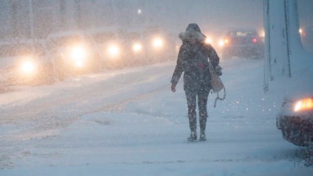
Environment Canada says a massive winter storm moving into Manitoba will hit most of the province Monday and Tuesday.
The storm is developing in the western United States and is expected to hit the Dakotas Monday, intensifying as it moves into Ontario.
The storm is also expected to hit southeast Saskatchewan, where a heavy blanket of snow will fall, along with a large swath of western and northern Manitoba, including Norway House and Gillam. Total snowfall in this area could reach 30 centimetres in places.
Parts of eastern Manitoba, including the Red River Valley and east of Lake Winnipeg, will get rain or freezing rain earlier in the day, turning to snow later in the day. The snow will be lighter in these areas, closer to 5 cm.
The province is advising people to take precautions when driving, because travel will be hazardous.
In western communities like Brandon and Flin Flon, expect blowing snow on Monday and Tuesday. The wind will pick up, gusting to 70 kilometres per hour.
Sunday, the weather will continue to be unseasonably warm. Winnipeg hit a high of 3 Celsius the day before and is expected get one degree higher on Sunday.
The wind will pick up slightly in the afternoon, around 20 km/h.
The rain will start around noon on Monday and turn to snow overnight. The wind will really get going Monday afternoon, increasing to between 50 and 70 km/h.
After that, temperatures will get colder again, only rising to -16 during the day on Thursday and overnight lows around -20 C, and staying like that into the weekend.
