WINNIPEG -- The spring thaw forecast released by the province shows below normal soil moisture and winter precipitation levels. That makes the risk for spring flooding low, but it may not be good news for farmers.
It has been an unseasonably dry winter said Bill Campbell, president of Keystone Agricultural Producers.
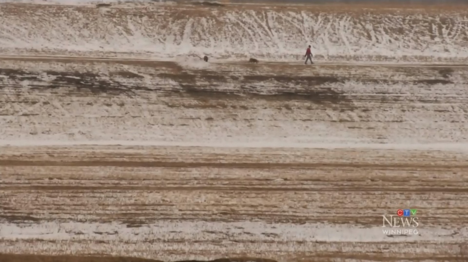
“Through the winter we have seen minimal snowfall. Some areas have a white covering and other areas have black fields showing up,” said Campbell.
He said they are not alarmed yet – it is still early and things could change.
But if there isn’t an additional significant amount of precipitation, it could be difficult for farmers to get their fields ready for spring planting.
“It is of significant relevance with regards to seedbed preparations, planting intentions, forage production, and pasture for our livestock,” said Campbell.
In North Dakota, Gregory Gust, the warning coordinator for the National Weather Service, said they are in the same boat.
“So we have exposed ground in a lot of places, the existing snow pack through much of the central part of the basin and the southern part of the basin very little,” Gust said.
Manitoba Infrastructure Minister Ron Schuler said the province also had a dry fall.
“It dried out quite a bit so there’s not a lot of soil moisture content in the soil, which means although we don’t have a lot of snow, right now the frost goes in deep but it comes out really quickly,” said Schuler.
He said the province needs an additional 100 cm or 40 inches of snow to get back up to normal levels before the spring thaw actually happens.
“The chances of us getting that–I think we did a probabilistic forecast – is between a 10 to 15 per cent chance that we would get that. But then we would need that across our entire basin,” said Schuler.
There will be a second spring thaw outlook released in late March.


