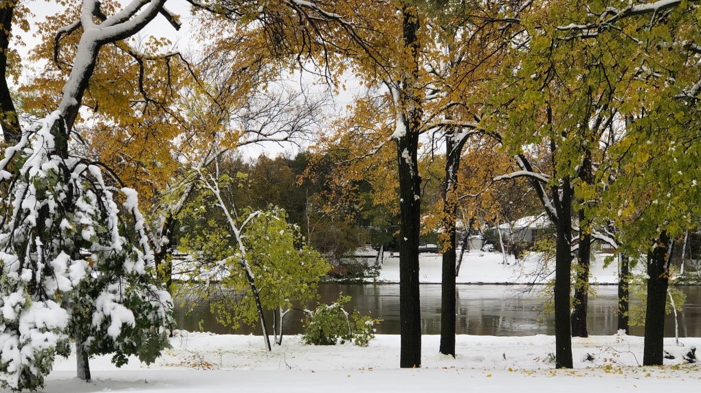
WINNIPEG -- The province’s chief flood forecaster expects levels of the Red River -- currently sitting at 15.08 feet at James Avenue following an unprecedented early winter storm -- will rise for another five to eight days before reaching its peak.
“Even though the flow is very high for this time of the year, it will be within the banks, still,” said Fisaha Unduche, director of flood mitigation initiatives for Manitoba Infrastructure, on Tuesday afternoon, noting many areas of southern and central Manitoba received between 50 – 100 mm of precipitation.
Unduche said there is a chance some low-lying areas in the Red River Valley could flood, such as in the St. Jean-Baptiste and Letellier areas, but he said the communities would not be affected.
He said the province doesn’t expect any ring dikes, public or private, will need to be closed as a result of high water on the Red. He also said roads are expected to stay open, with the exception of a road that was partially closed in St. Adolphe due to the operation of the floodway.
The Red River is expected to reach a peak of 16 to 16.3 feet between Oct. 20 and Oct. 23.
Too soon to predict impact of storm on spring flooding
Unduche said while the high water and flows are unusual for this time of year, many of the factors used to determine the likelihood of spring flooding remain unknown.
“So, we know only two factors right now, high base flows and relatively wet soil moisture,” he said, listing several other elements that will come into play, including winter precipitation, the timing of spring rain and how quickly snow melts.
Flooding in southeast Manitoba
While some smaller rivers and streams have likely peaked, including the Rat and Roseau Rivers, others are expected to continue to rise.
Unduche said areas in Manitoba’s southeast experiencing localized, overland flooding can expect that water to stick around for a few days while rivers recede.
He also said there is still significant snow on the ground in central and southern Manitoba, in areas near the Pembina and Boyne Rivers, where temperatures are expected to rise to highs of 10 C later in the week.
“With that, we expect flow will start to – runoff will start to kick up and with that we expect to see more runoff into lakes and rivers in central and southern and Interlake regions,” Unduche said.


