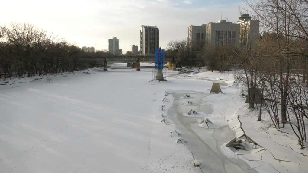
WINNIPEG -- Despite a fall season which saw record or near-record precipitation across southern Manitoba, the province is not ready to say spring flooding is a certainty.
In its 2019 Fall Conditions Report, the Hydrologic Forecast Centre said a combination of factors determine spring run-off and potential flood risks.
These include the amount of winter, spring precipitation and melt conditions.
Those considerations aside, the report acknowledges precipitation that’s already fallen at near record-high levels has resulted in above-normal to well-above-normal soil moisture and carries some risk of spring flooding within these river basins.
FACTORS RAISING RISK SPRING FLOODING
In October, many rivers reached record high flows for the month, including the Red, Roseau, Souris, Rat, Seine, Brokenhead and Whitemouth rivers, as well as many smaller tributaries.
Most rivers in the southern portion of the province had above-normal flows heading into freeze-up.
Higher base flows and water levels indicate a higher risk of spring flooding, as there is more water already in the system of rivers and lakes before spring run-off occurs.
Regarding snowfall, the report quotes Environment and Climate Change Canada’s prediction that levels are likely to be normal from December to February 2020 across most of southern Manitoba.
In the U.S., the National Weather Service is predicting above-normal precipitation for the American portion of the Red River and Souris River basins.
Higher snowfall amounts south of the international border may also boost the possibility of spring floods in Manitoba, according to the report.


