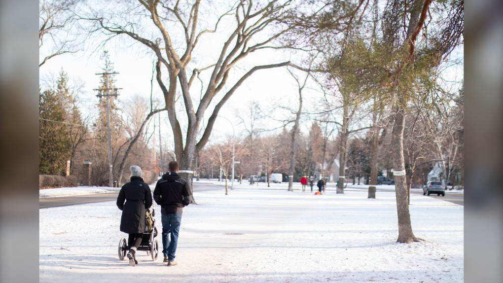
WINNIPEG -- Environment Canada is giving Manitobans the first look at what kind of winter weather may be in store in the coming months - some may be in for a mild Christmas, while others may want to bundle up.
On Monday, Environment Canada released its three-month forecast which shows the southern end of the province has a slightly higher chance of some warmer-than-usual weather running until February.
In the northeast parts of the province along Hudson Bay, there are higher chances of colder-than-normal weather, but for the rest of Manitoba, Environment Canada said it’s unclear what the winter temperature forecast will be.
Southern Manitoba’s recent warm weather trend is owed, in part to a deviation from regular “La Niña” patterns, which usually creates a more southern-placed polar jet stream that brings cold air to Manitoba.
Environment Canada meteorologist Natalie Hassell says there is some disagreement surrounding weather forecasts.
“You kind of have to take these seasonal forecasts with a bit of a grain of salt,” said Hassell.
Northern Manitobans may also have more snow than usual, with weather forecasts indicating a higher-than-normal chance of precipitation over the next few months, she said.
For most Manitobans who live in the southern end of the province, it’s still unclear whether there will be more or less snow than average for this time of year.
Hassel said clear skies and little precipitation is usually correlated with cooler than normal weather, which is what could happen if the jet stream shifts south and brings Manitoba cold air.
She said, however, given the overall forecast she would not be surprised to see January and February become much colder than normal. While the mercury may drop, Hassel said it could bring about some sunny skies.
Environment Canada releases the three-month forecast at the end of each month.


